East Sooke Regional Park,
Juan de Fuca, East Sooke, Capital RD
 ✮ ✮ ✮ ✮ ✮

Located along the dramatic coastal trail of East Sooke Regional Park, the Beechey Head Reference Mark is a small but fascinating piece of Vancouver Island’s maritime history. Installed as part of Canada’s geodetic survey system, this stone marker helped map and measure the rugged coastline long before GPS existed.
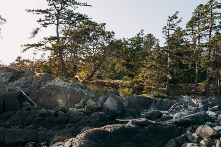
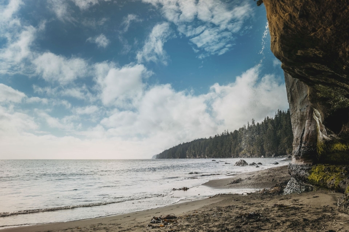
Set high on the cliffs of Beechey Head, the site offers sweeping views of the Juan de Fuca Strait and the Olympic Mountains beyond. The hike to the marker is as memorable as the destination—passing through mossy forest, open bluffs, and some of the park’s most spectacular ocean vistas.


Parking: Aylard Farm.
Facilities: Restrooms and picnic area at Aylard Farm trailhead.
Trail: 2 km one way from Aylard Farm through the forest; moderate terrain with some steep sections.
Best Time to Visit: Clear days for the best views across the strait.